About the project
Project goal
The purpose of the Election Geoportal is to present the results of the Polish general elections in electronic and interactive form. The development of digital techniques, including cartographic visualization, allows many opportunities to expand analysis in this area. The prospect of creating one's own cartographic and graphical compilations by an individual user is particularly important. Through our website, we try to make this possible for a wide audience.
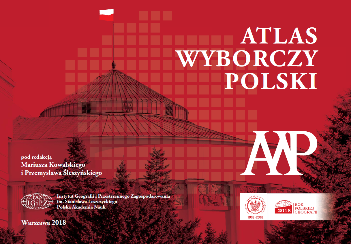
The Election Geoportal was inspired by the Atlas Wyborczy Polski, published in 2018 by the Institute of Geography and Spatial Organization Polish Academy of Sciences (IGSO PAS) in Warsaw, also in traditional (paper) form. This atlas includes, among others: a collection of over 700 maps presenting the results and spatial analysis of general elections in Poland, mainly from the period 1989-2015. The knowledge, experience and data collected by the Editors and Authors became the starting point for a new scientific and expert idea called The Election Geoportal, implemented by the Jagiellonian College in Toruń.
The idea


The thool
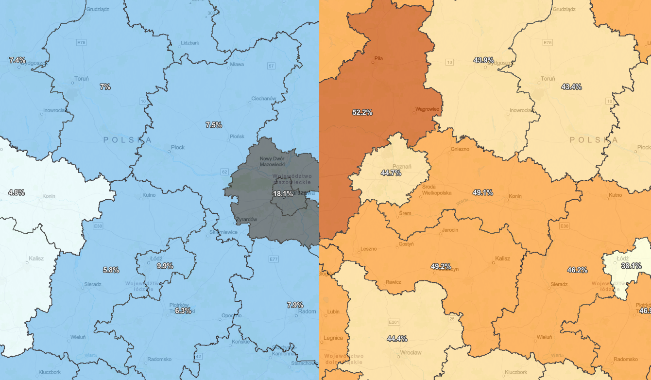
The Geoportal is the first such a broad solution of this type in Poland. It allows to view the results of nationwide general elections after 1989, as well as to track the turnout and the voting results for individual groups/candidates for the President of the Republic of Poland. Among other things, it is possible to compare the voting results for various committees over time in a uniform system of electoral districts (we used the districts valid in the 2019 Sejm elections as a reference point). The advantage is not only the presentation of electoral data in the system of the same units over a long period of time (currently 1990-2020), but also a comparison of these events with socio-economic phenomena and processes (indicators).
The future
We anticipate the systematic development of The Election Geoportal. In the future, we would especially like to expand the databases and analysis possibilities to The Interwar Period (1918-1939). It will also be equally important to further specify the possibilities for analysis and comparison to lower levels of aggregation (county, commune, electoral district).
The social mission of The Election Geoportal is to develop political awareness and better understanding of related processes. This is of great importance, especially in local and regional communities. Thus, we want The Geoportal to be able to contribute as best as possible to the development of civil society and social participation in matters of the national and regional importance.
Editors and Authors of The Election Geoportal


