Selection of Counties for Research Purposes by the Centre for Electoral Studies
Authors: Grzegorz Górski, Stanisław Górski
As noted in the introduction to this study, the aim of the present research is to examine the durability of political attitudes among the inhabitants of selected areas within the contemporary borders of the Republic of Poland. In particular, the study seeks to trace the persistence of such attitudes across several centuries, during which these territories functioned under markedly different political regimes and electoral systems.
A key motivation underlying the research hypothesis is an empirical observation drawn from post-1989 electoral data. When Polish electoral results are analysed at the level of individual counties (powiaty), a striking and consistent pattern emerges: voting preferences tend to correspond closely to the historical boundaries established by the partitioning powers – boundaries that remained in force until the outbreak of the First World War. This regularity has proved remarkably resilient, persisting for more than a century after the formal end of the partitions. The longevity of these patterns provides sufficient grounds for a scholarly inquiry, first to assess whether this apparent regularity can be empirically substantiated, and secondly, should this prove to be the case, to identify the principal factors that may account for it
Various explanations for this phenomenon have been proposed, though a detailed examination of them lies beyond the scope of this stage of the analysis. It is, however, worth noting one particularly widespread but fundamentally flawed interpretation, frequently encountered in journalistic and popular discourse. According to this view, the observed electoral differences are allegedly the result of enduring “civilisational” disparities between regions that once belonged to Germany and those incorporated into the Russian or Austrian partitions. This argument suggests that the populations of these territories differ in their level of civilisation – an assertion that lacks any serious historical or empirical foundation. Even a cursory analysis of county-level electoral data demonstrates that, while clear regional differences in voting behaviour do indeed exist, the principal dividing line most often corresponds not to the borders of the former partitions, but rather to the western boundary of the Polish–Lithuanian Commonwealth as it existed prior to the partitions (with only minor later adjustments, notably in western Greater Poland). This directly contradicts the aforementioned thesis, which rests on a simplistic and historically uninformed understanding of Poland’s past.
If one were nevertheless to adopt a similar mode of reasoning, a far more plausible hypothesis would be that contemporary voting behaviour differs between populations inhabiting territories that have formed part of the Polish state continuously since at least the fifteenth century and those living in areas incorporated into Poland only after 1945. The latter regions were largely settled as a result of extensive post-war population transfers, and despite well-documented processes of social and cultural assimilation, their inhabitants display political attitudes that differ noticeably from those prevalent in other parts of the country. This phenomenon is particularly evident in large urban centres, where recent decades have witnessed profound demographic changes, not so much in absolute population size as in population composition, often including ethnic structure. These shifts have had a direct impact on electoral behaviour. An even more pronounced effect can be observed in the suburban zones of major cities, which have experienced intensive in-migration from urban cores, thereby reshaping the electoral profile of surrounding counties.
These observations serve merely to illustrate broader dynamics characteristic of contemporary electoral processes, in which population mobility plays a decisive role. Such dynamics are by no means unique to Poland; they are equally evident in Western Europe, as well as in the United States and Canada, where internal and international migration continues to reshape political landscapes.
Against this background, the central research question is whether the regularities visible in maps of electoral preferences genuinely reflect deeper historical continuities. If so, a further question arises: at what stage in history did the foundations of these enduring political attitudes take shape?
Drawing on the earlier analysis of the institutional continuity of counties (powiaty) on Polish lands, a group of counties was selected for closer examination. These counties were chosen in order to investigate the potential persistence of political attitudes among their inhabitants across several centuries during which electoral mechanisms were in operation.
The selection of counties was guided by several basic criteria.
- The analysis focuses on counties located in central Poland, specifically in regions that have remained within the borders of the Polish state without interruption since the sixteenth or seventeenth century. These include western Lesser Poland, the eastern fringe of Silesia (later Upper Silesia), Greater Poland, Mazovia, Eastern Pomerania, and parts of Warmia.
- Most of the selected counties were areas in which processes associated with the emergence of modern political life, including the formation of political groupings, were particularly intense during the eighteenth century.
- The core group among the selected counties, characterised by the longest tradition of political life within the framework of regional assemblies (sejmiki) operating at the voivodeship level, consists primarily of counties drawn from the eighteen voivodeships of the Polish–Lithuanian Commonwealth. These voivodeships include Podlasie, Chełm, Lublin, Kalisz, Poznań, Ruthenia, Sandomierz, Mazovia, Płock, the Land of Sochaczew, Kraków, Łęczyca, Sieradz, Chełmno, Inowrocław, Brześć Kujawski, and Pomerania. In most cases, the counties within these voivodeships retained institutional continuity, even during the period of the partitions, up to their re-establishment in the Third Republic of Poland.
- For counties located in these regions, the study analyses the distribution of political sympathies in the seventeenth and eighteenth centuries, seeking to determine whether the foundations of later political divisions and loyalties can already be identified within the political conflicts and alignments of that period.
- A comparable analysis is then be undertaken for a selected group of counties in the nineteenth and early twentieth centuries, within the context of political developments in the partitioning states, as well as for the period of the Second Polish Republic.
The overarching aim of this multi-period analysis is to assess the extent to which political experiences and patterns of behaviour formed in earlier historical epochs may be reflected, directly or indirectly, in contemporary electoral preferences. The purpose of this research is to assess the validity of the aforementioned, largely impressionistic claims, formulated on the basis of a priori assumptions, according to which contemporary electoral preferences are said to constitute a direct continuation of the former partition-based divisions and, allegedly arising from them, enduring civilisational differences that persist to the present day.
For the purposes of this analysis, a total of 97 counties (powiaty) were selected within the boundaries of Poland’s present-day voivodeships. These counties are located across twelve contemporary voivodeships.
The voivodeships of West Pomerania, Lubusz, Opole, and Lower Silesia were excluded from the study. The territories of these regions were incorporated into the Polish state only after 1945, which in itself precludes their inclusion in a research design constructed along the lines adopted here. Furthermore, at the turn of the nineteenth and twentieth centuries the population of Polish origin in these areas was extremely limited. As a result, it is not possible, even hypothetically, to reconstruct the political preferences of that population as expressed in successive electoral processes within the Prussian state.
For a variety of reasons, it proved impossible to select an equal number of counties from each of the remaining twelve voivodeships. Nevertheless, in each case a minimum of five counties was included in the analysis. In the authors’ assessment, this sample size is sufficient to permit the formulation of conclusions and evaluations that are meaningful in relation to the objectives of the study.
It should also be recalled that, as noted earlier, political life in Poland up to the end of the First Polish–Lithuanian Commonwealth in the late eighteenth century was concentrated around the institution of the sejmik (regional assembly), whose jurisdiction extended over the territory of a voivodeship or land. Consequently, for this period it is possible to draw certain conclusions by extrapolating political processes observed at the voivodeship level to the counties forming part of those units. For this reason, we assume that the conclusions formulated with respect to this period and these territories must, at the present stage of research, be regarded as provisional and subject to further verification. Nevertheless, it would be difficult to deny them a significant cognitive value, particularly when viewed in the broader context of later political developments and historical experiences.
Taking these considerations into account, the following counties were selected for inclusion in the analysis:
Podlaskie Voivodeship (6 counties): Białystok, Bielsk (Podlaskie), Łomża (Mazowieckie), Siemiatycze, Sokółka, Suwałki.
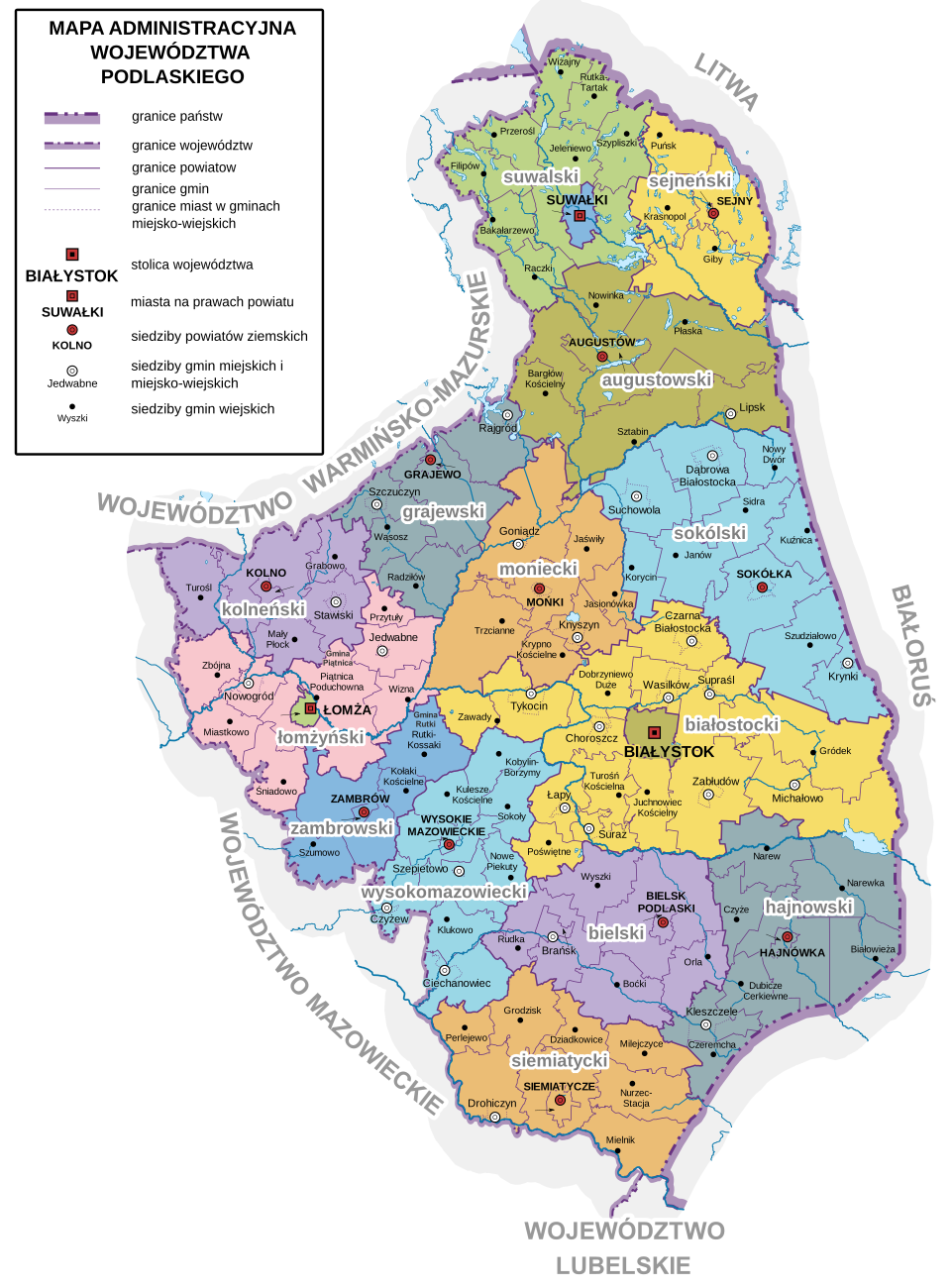
Figure 1. Administrative map of the Podlaskie Voivodeship. Source: Wikimedia Commons, Administrative map of the Podlaskie Voivodeship, https://pl.wikipedia.org/wiki/Podzia%C5%82_administracyjny_wojew%C3%B3dztwa_podlaskiego#/media/ Plik:Podlaskie_Voivodeship_administrative_map.svg [accessed on: 14.12.2025].
2. Lubelskie Voivodeship (6 counties): Biała Podlaska, Chełm (Chełmskie), Hrubieszów (Chełmskie), Krasnystaw, Lublin (Lubelskie), Łuków
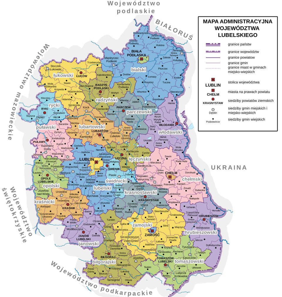
Figure 2. Administrative map of the Lubelskie Voivodeship. Source: Wikimedia Commons, Administrative map of the Lubelskie Voivodeship, https://pl.wikipedia.org/wiki/Podzia%C5%82_administracyjny_wojew%C3%B3dztwa_lubelskiego#/media/ Plik:Lublin_Voivodeship_administrative_map.svg [accessed on: 14.12.2025].
3. Wielkopolskie Voivodeship (9 counties): Czarnków, Gniezno (Kaliskie), Kalisz (Kaliskie), Konin (Kaliskie), Kościan (Poznańskie), Ostrów Wielkopolski, Poznań (Poznańskie), Rawicz, Września
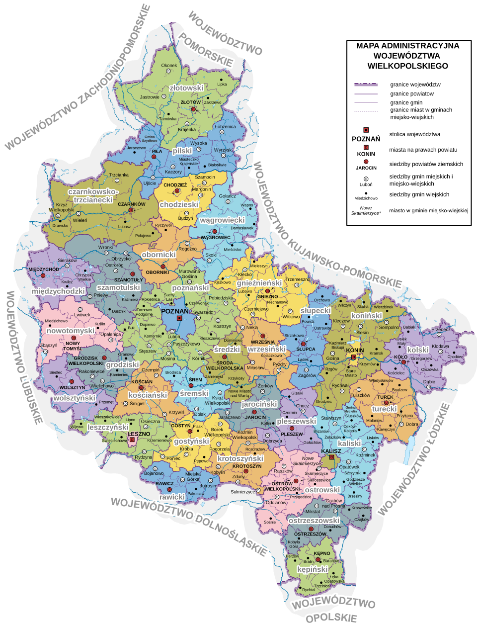
Figure 3. Administrative map of the Wielkopolskie Voivodeship. Source: Wikimedia Commons, Administrative map of the Wielkopolskie Voivodeship, https://pl.wikipedia.org/wiki/Podzia%C5%82_administracyjny_wojew%C3%B3dztwa_wielkopolskiego#/media/Plik:Greater_Poland_Voivodeship_administrative_map.svg [accessed on: 14.12.2025].
4. Świętokrzyskie Voivodeship (6 counties): Jędrzejów, Kielce, Opatów, Pińczów, Sandomierz, Włoszczowa
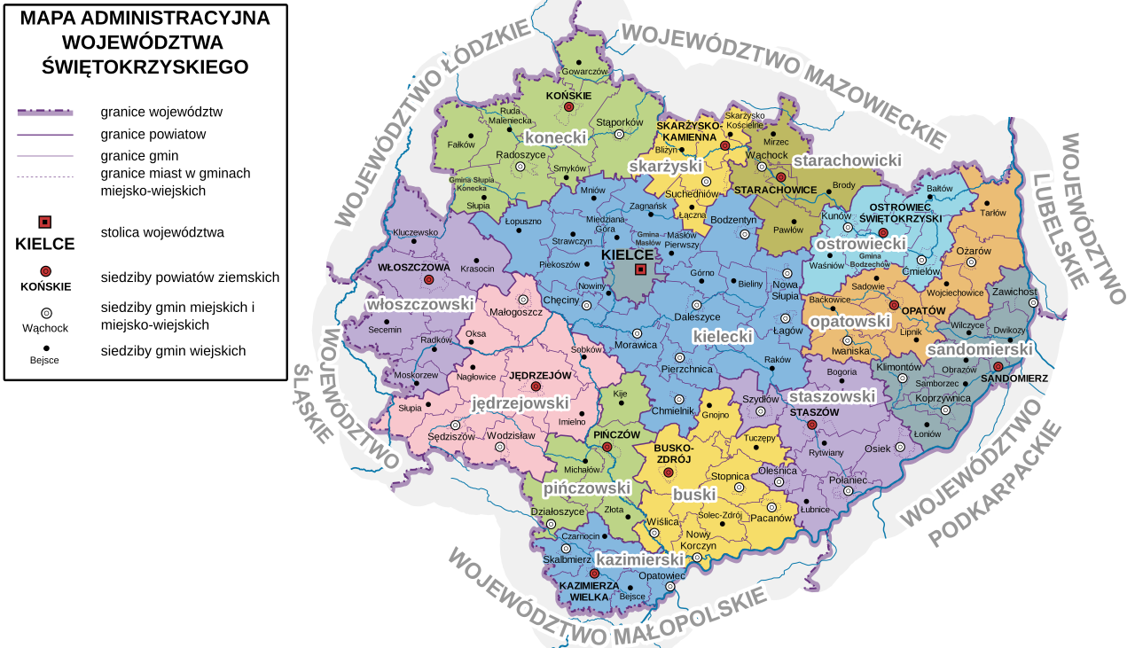
Figure 4. Administrative map of the Świętokrzyskie Voivodeship. Source: Wikimedia Commons, Administrative map of the Świętokrzyskie Voivodeship, https://pl.wikipedia.org/wiki/Podzia%C5%82_administracyjny_wojew%C3%B3dztwa_%C5% 9Bwi%C4%99tokrzyskiego#/media/Plik:%C5%9Awi%C4%99tokrzyskie_Voivodeship_administrative_map.svg [accessed on: 14.12.2025].
5. Podkarpackie Voivodeship (formerly Lviv / Ruthenian Voivodeships) (7 counties): Krosno, Mielec, Przeworsk, Przemyśl (Ruthenian Voivodeship), Rzeszów, Sandomierz (Sandomierskie), Tarnobrzeg
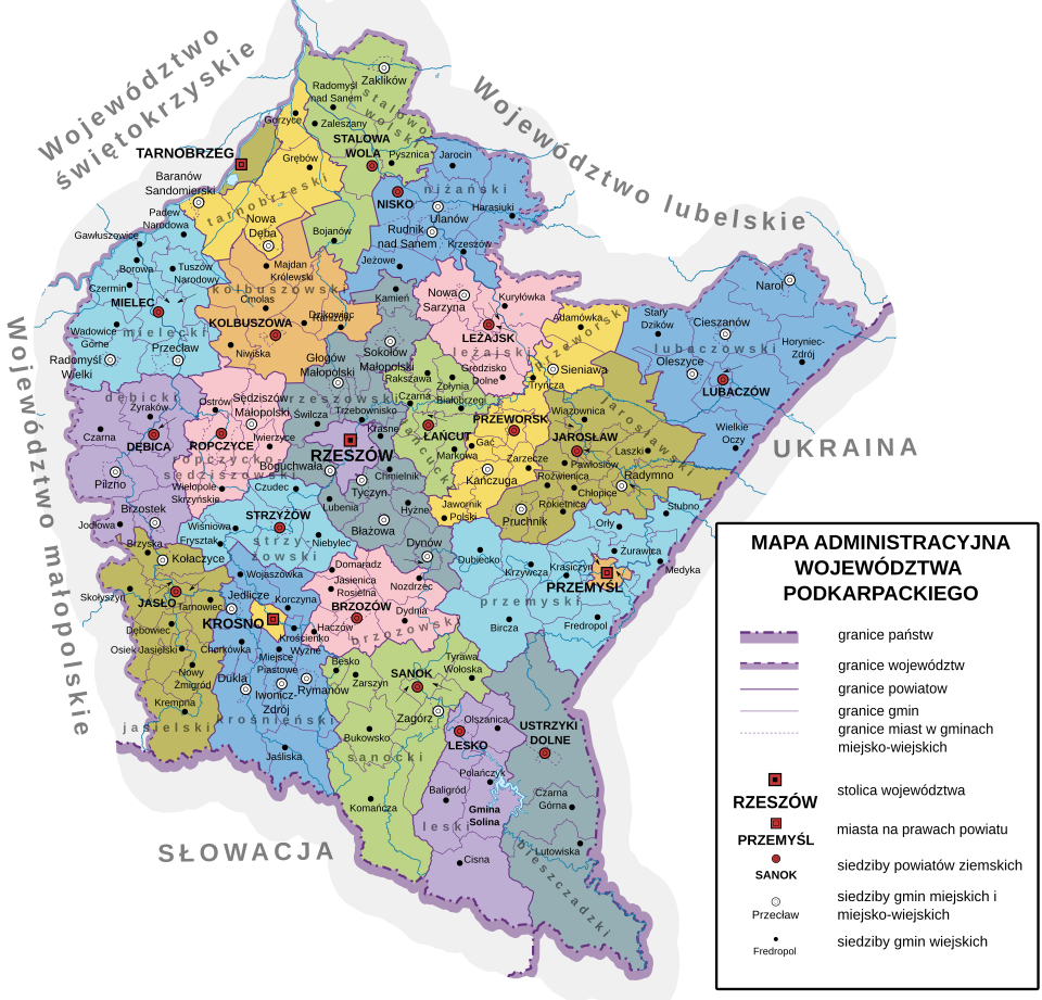
Figure 5. Administrative map of the Podkarpackie Voivodeship. Source: Wikimedia Commons, Administrative map of the Podkarpackie Voivodeship, https://pl.wikipedia.org/wiki/Podzia%C5%82_administracyjny_wojew%C3%B3dztwa_podkarpackiego#/ media/Plik:Podkarpackie_Voivodeship_administrative_map.svg [accessed on: 14.12.2025].
6. Mazowieckie Voivodeship (13 counties): Ciechanów (Masowieckie), Gostynin (Gostynin Land), Maków, Mława (Płockie), Ostrołęka, Ostrów Mazowiecka, Płock (Płockie), Płońsk, Przasnysz, Radom (Sandomierskie), Sierpc (Płockie), Sochaczew (Sochaczew Land), Węgrów
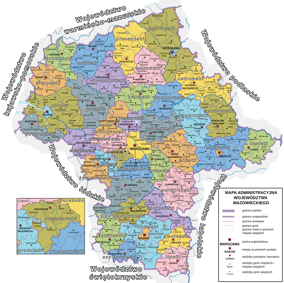
Figure 6. Administrative map of the Mazowieckie Voivodeship. Source: Wikimedia Commons, Administrative map of the Mazowieckie Voivodeship, https://pl.wikipedia.org/wiki/Wojew%C3%B3dztwo_mazowieckie#/media/Plik:Masovian_Voivodeship_ad- ministrative_map.svg [accessed on: 14.12.2025].
7. Małopolskie Voivodeship (9 counties): Chrzanów, Dąbrowa, Gorlice, Kraków (Krakowskie), Limanowa, Myślenice, Nowy Sącz (Krakowskie), Olkusz, Tarnów (Sandomierskie)
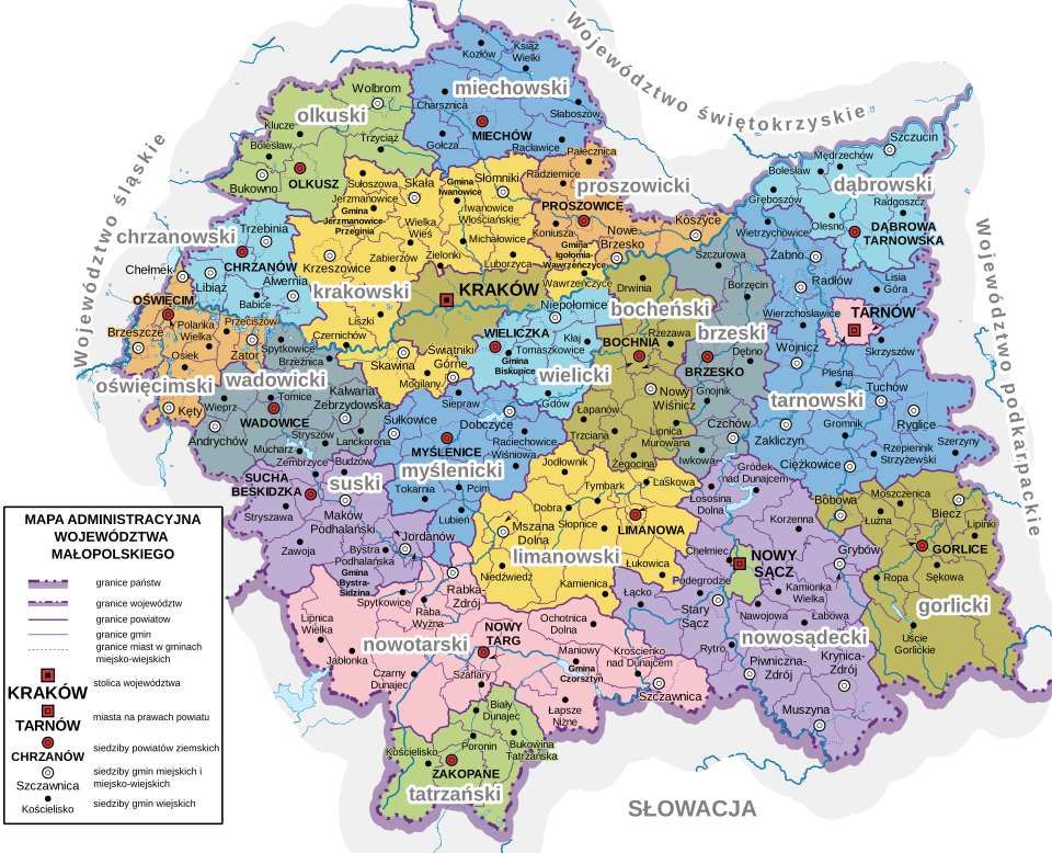
Figure 7. Administrative map of the Małopolskie Voivodeship. Source: Wikimedia Commons, Administrative map of the Małopolskie Voivodeship, https://pl.wikipedia.org/wiki/Podzia%C5%82_administracyjny_wojew%C3%B3dztwa_ma%C5%82opolskiego#/ media/Plik:Lesser_Poland_Voivodeship_administrative_map.svg [accessed on: 14.12.2025].
8. Łódzkie Voivodeship (9 counties): Brzeziny, Łęczyca (Łęczyckie), Łowicz, Opoczno, Piotrków (Sieradzkie), Radomsko (formerly Nowy Radom), Skierniewice, Sieradz (Sieradzkie), Wieluń (Sieradzckie)
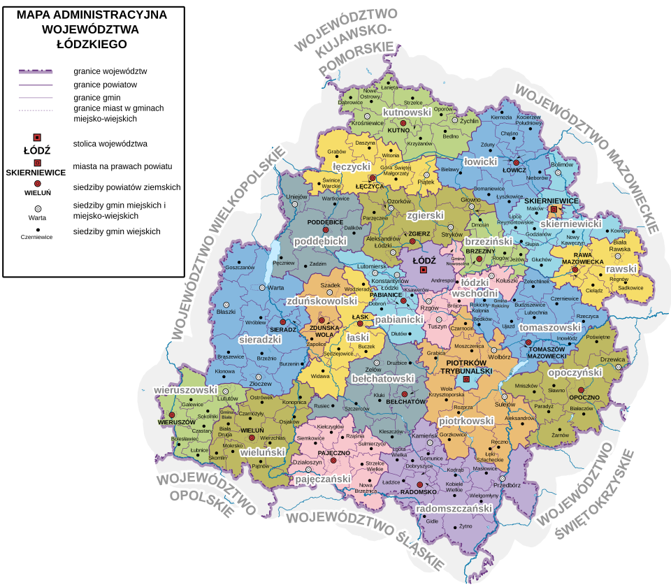
Figure 8. Administrative map of the Łódzkie Voivodeship. Source: Wikimedia Commons, Administrative map of the Łódzkie Voivodeship, https://pl.wikipedia.org/wiki/Podzia%C5%82_administracyjny_wojew%C3%B3dztwa_%C5%82%C3%B3dzkiego#/ media/Plik:%C5%81%C3%B3d%C5%BA_Voivodeship_administrative_map.svg [accessed on: 14.12.2025].
9. Kujawsko-Pomorskie Voivodeship (13 counties): Brodnica (Chełmińskie), Bydgoszcz (Inowrocławskie), Chełmno (Chełmińskie), Grudziądz, Inowrocław (Inowrocławskie), Lipno (Inowrocławskie), Nakło (Kaliskie), Nieszawa–Radziejów (Brzesko-Kujawskie), Rypin (Inowrocławskie), Świecie, Toruń, Tuchola
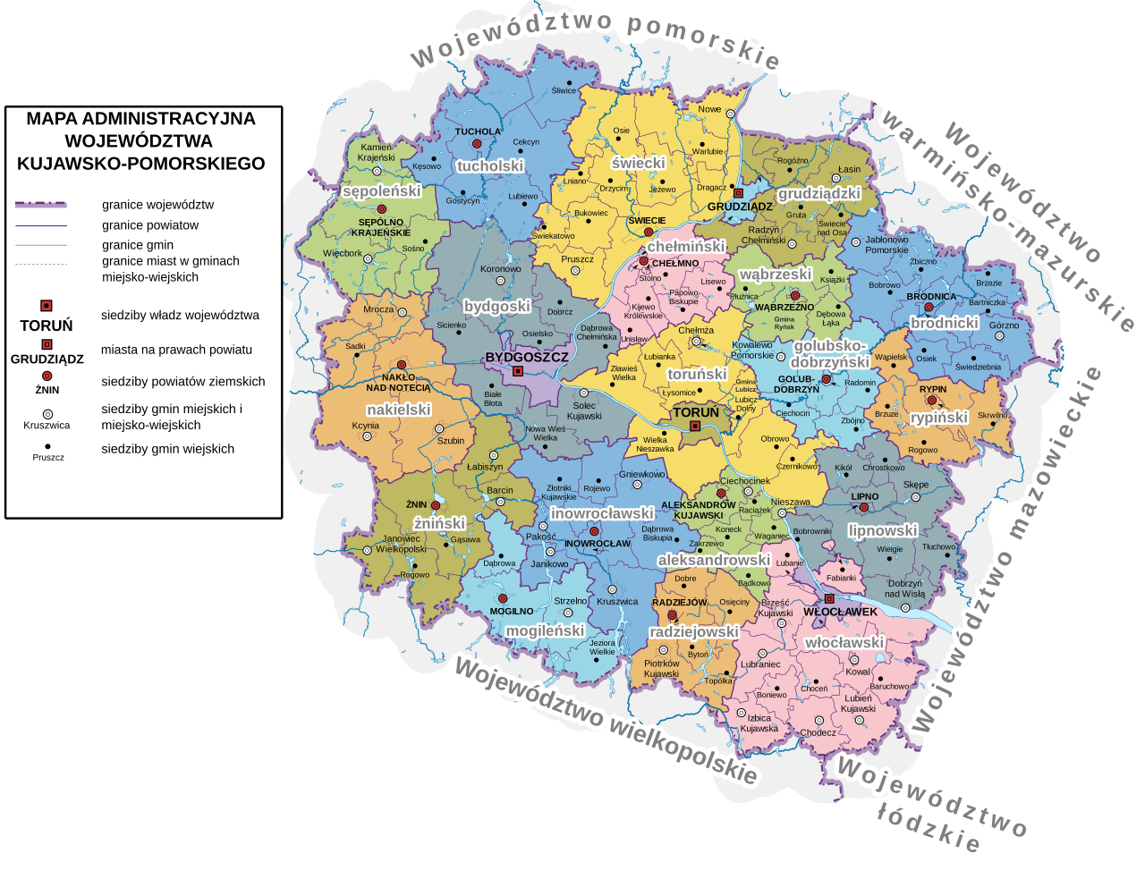
Figure 9. Administrative map of the Kujawsko-Pomorskie Voivodeship. Source: Wikimedia Commons, Administrative map of the Kujawsko-Pomorskie Voivodeship, https://pl.wikipedia.org/wiki/Podzia%C5%82_administracyjny_wojew%C3%B3dztwa_ku- jawsko-pomorskiego#/media/Plik:Kuyavian-Pomeranian_Voivodeship_administrative_map.svg [accessed on: 14.12.2025].
10. Pomorskie Voivodeship (7 counties): Człuchów, Kościerzyna, Puck, Tczew (Pomorskie), Gdańsk (Pomorskie), Bytów, Lębork
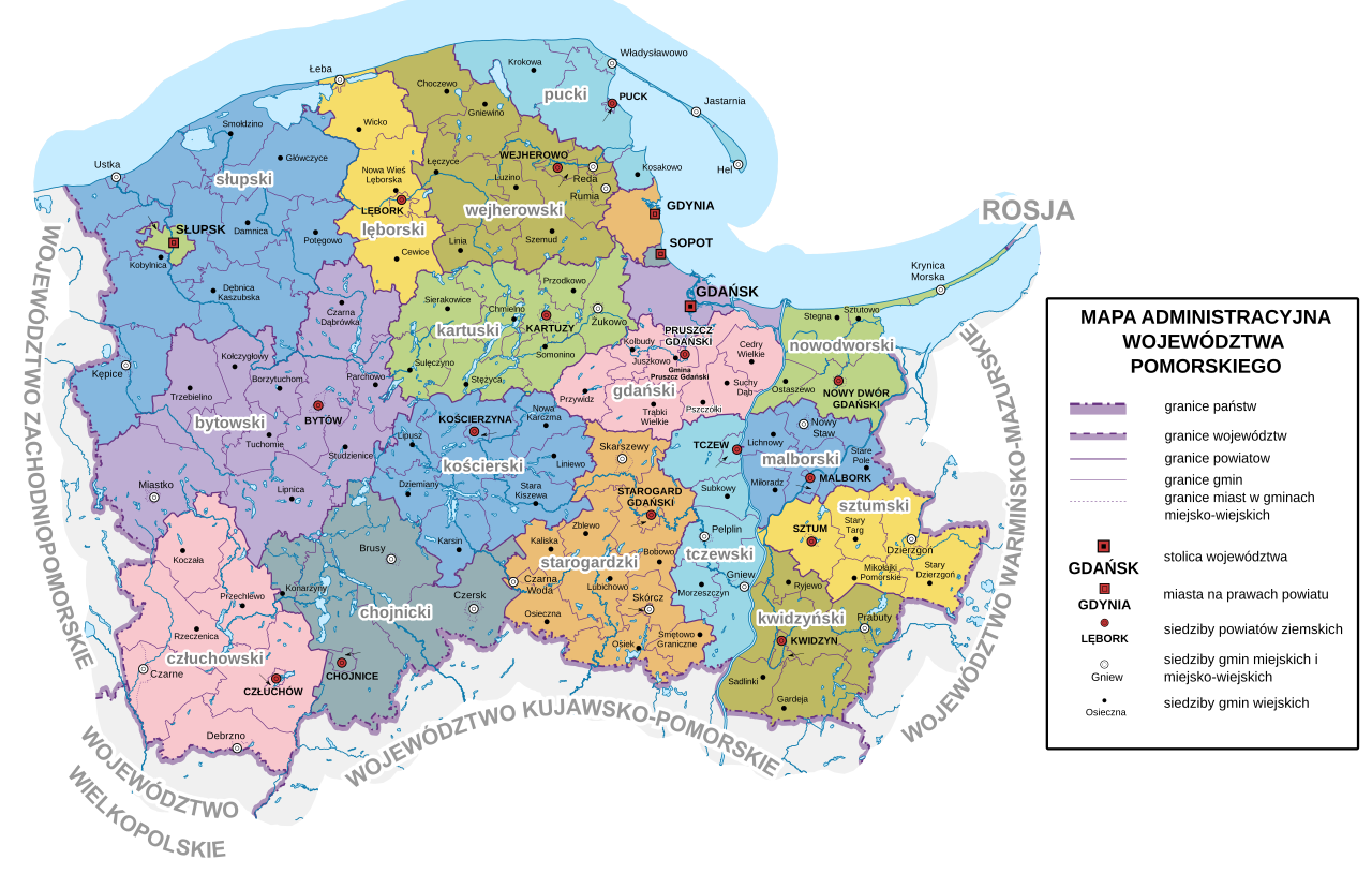
Figure 10. Administrative map of the Pomorskie Voivodeship. Source: Wikimedia Commons, Administrative map of the Pomorskie Voivodeship, https://pl.wikipedia.org/wiki/Podzia%C5%82_administracyjny_wojew%C3%B3dztwa_pomorskiego#/media/ Plik:Pomeranian_Voivodeship_administrative_map.svg [accessed on: 14.12.2025].
11. Śląskie Voivodeship (7): Będzin, Bielsko, Częstochowa, Katowice, Rybnik, Pszczyna, Żywiec
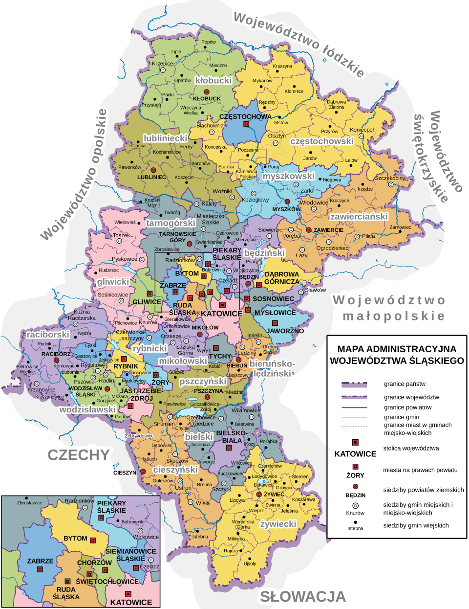
Figure 11. Administrative map of the Silesian Voivodeship. Source: Wikimedia Commons, Administrative map of the Śląskie Voivodeship, https://pl.wikipedia.org/wiki/Podzia%C5%82_administracyjny_wojew%C3%B3dztwa_%C5%9Bl%C4%85ski ego#/media/Plik:Silesian_Voivodeship_administrative_map.svg [accessed on: 14.12.2025].
12. Warmińsko-Mazurskie Voivodeship (5): Elbląg, Kwidzyn, Malbork, Sztum, Olsztyn
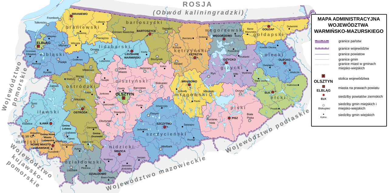
Figure 12. Administrative map of the Warmińsko-Mazurskie Voivodeship. Source: Wikimedia Commons, Administrative map of the Warmińsko-Mazurskie Voivodeship, https://pl.wikipedia.org/wiki/Podzia%C5%82_administracyjny_wojew%C3%B3dztwa_ warmi%C5%84sko-mazurskiego#/media/Plik:Warmian-Masurian_Voivodeship_administrative_map.svg [accessed on: 14.12.2025].
Udostępnij